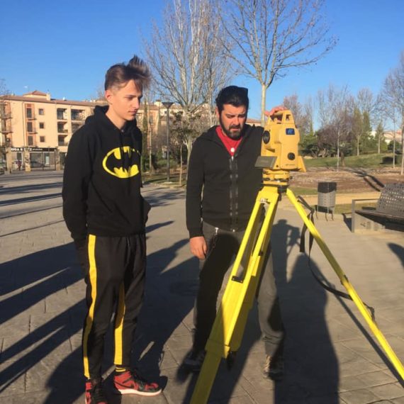
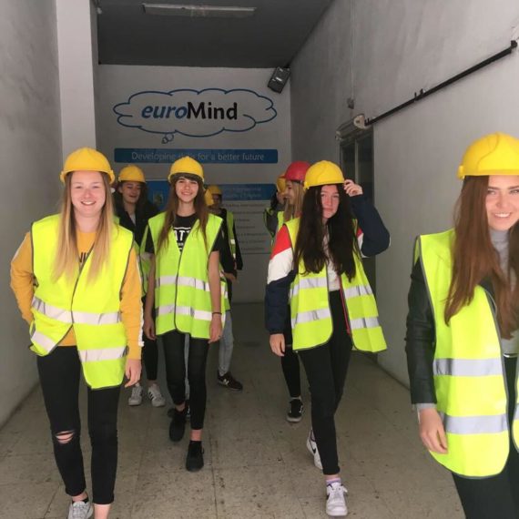
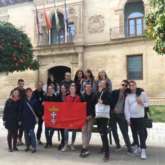
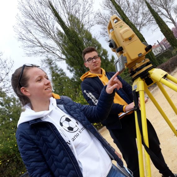
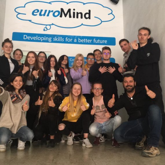
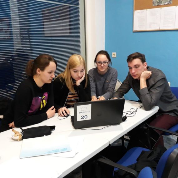
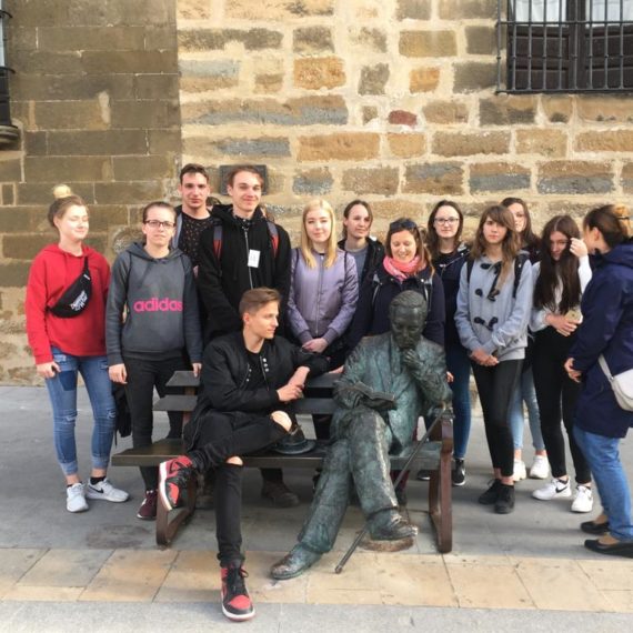
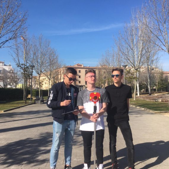
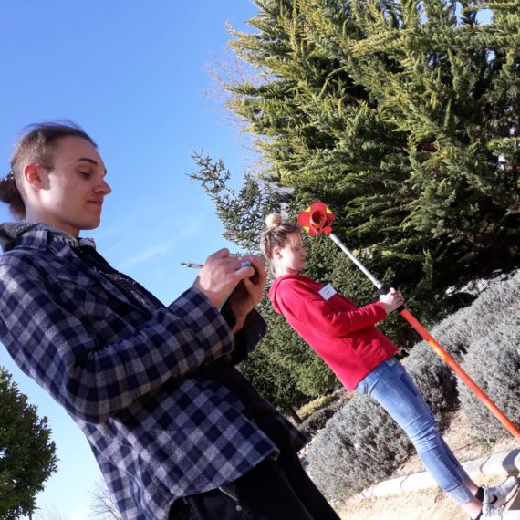
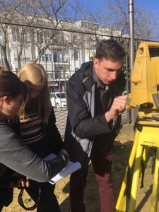
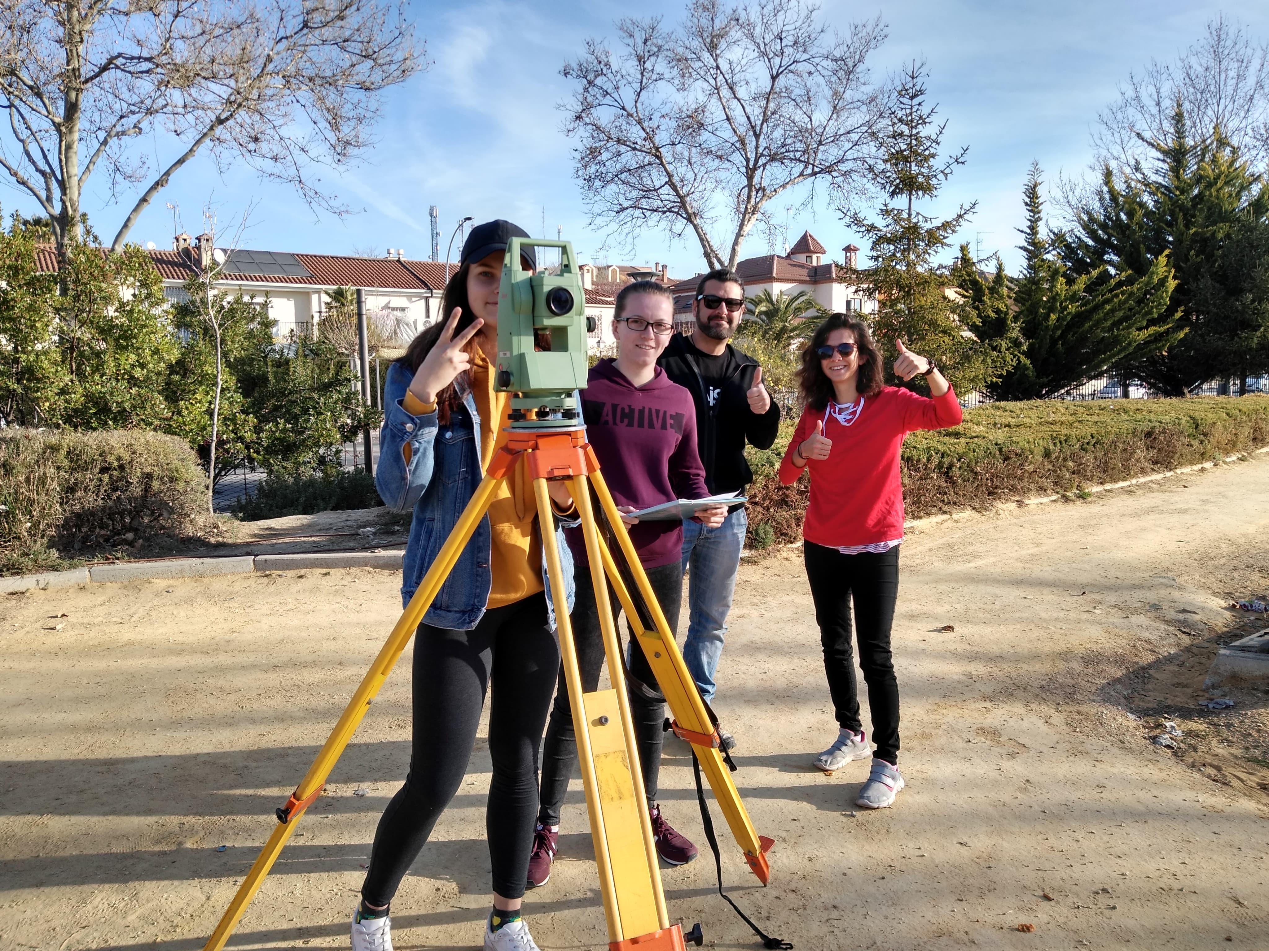
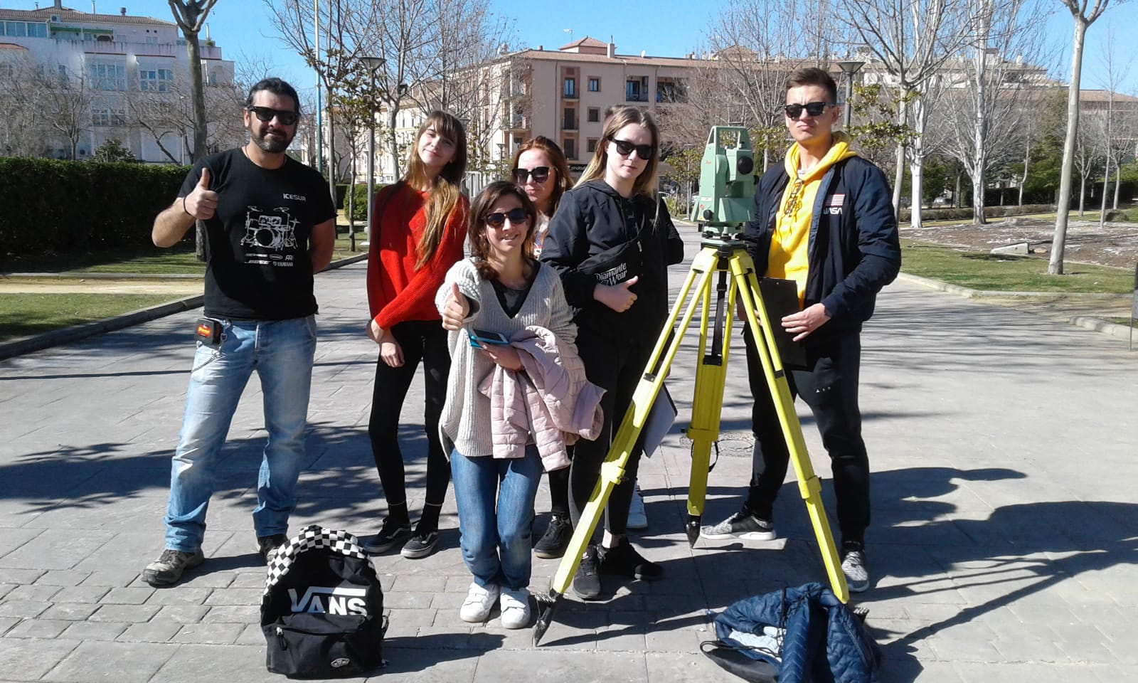
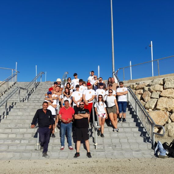
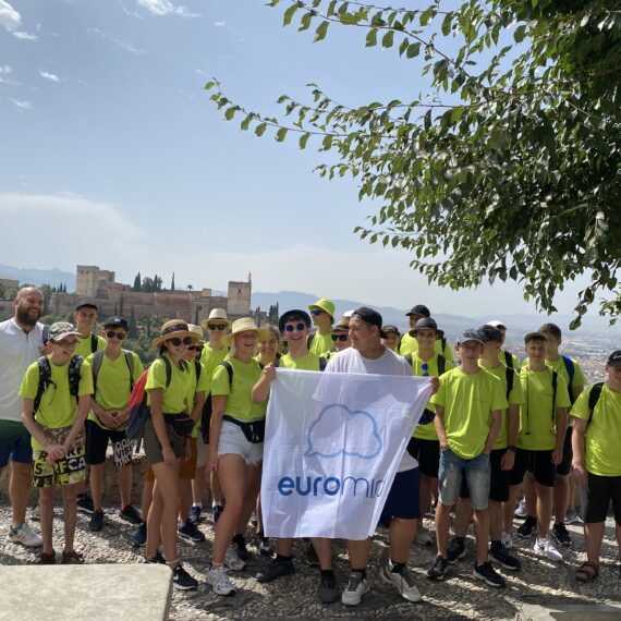
A group from Gdańsk had the unique opportunity to learn about the profession of a surveyor in Spain. The students were very attentive, they learned a lot of new skills that will be useful in their future professional life. They could get new skills here, including:
– planning the work on the topographic project to fit within the set time limit,
– organizing the work according to the available equipment and weather conditions,
– analyzing correctly the area and selects the topographic bases accordingly,
– understanding the need for supporting materials (sketches) that facilitate further work on the project,
– being aware of the significance of precisely measured coordinates for the final result and makes measurements avoiding basic errors,
– selecting the working method depending on the intended effect,
– cooperation with all members of the working group caring out each task.
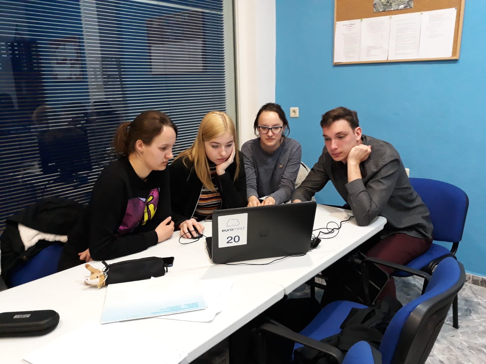
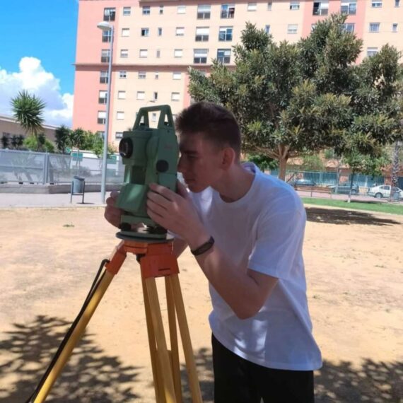
Apart from this, every trainee is able to create an accurate cartographic drawing; to properly use topographic equipment (total station, mirror etc.); to take measurements and make the calculations of the coordinates; to process the obtained field data in EXCEL spreadsheet for the needs of AutoCAD; is able to work using EXCEL and AutoCAD; to create topographic plans and maps; is able to check the accuracy of the coordinates.
All those skills and competencies our geodetic surveyors could practice in the cooperation of the local, Spanish surveyors.
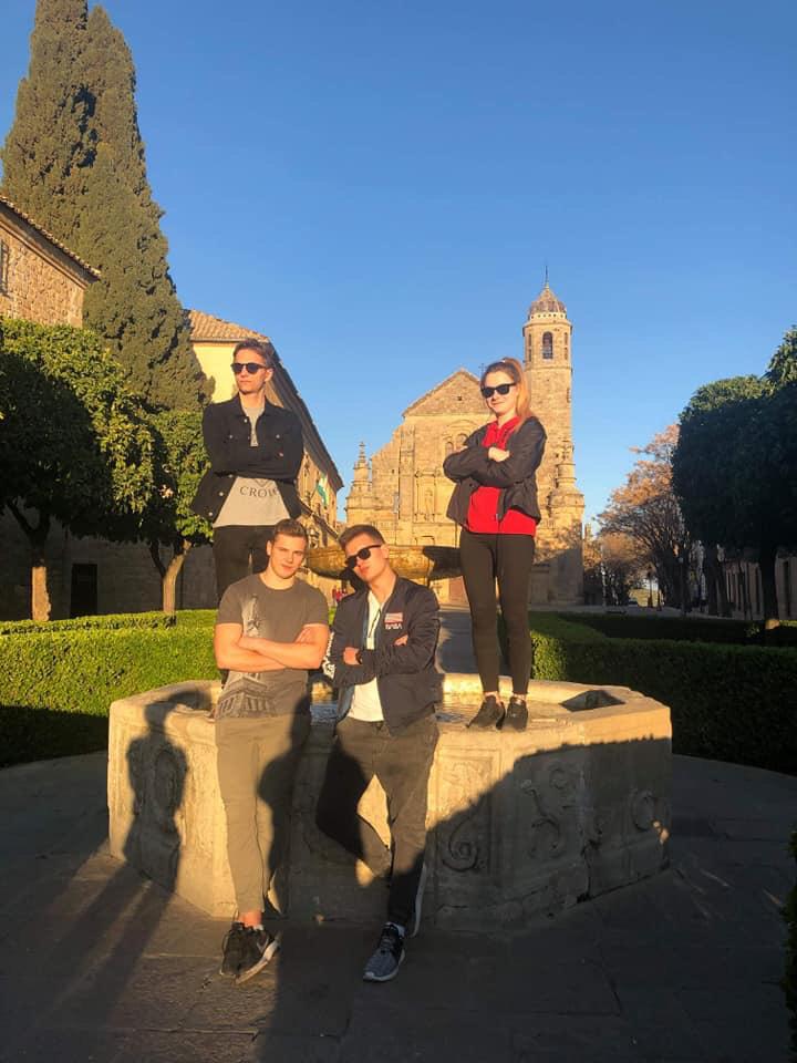
Apart from the working part, they had also a diverse cultural program, e.g. trips to Cordoba, Baeza, and Sierra Nevada Park, and Churros Cooking & Tasting Workshop, where they had a lot of fun. Spanish course was their everyday activity. Thanks to the Spanish classes they could extend their Spanish vocabulary and language skills.


