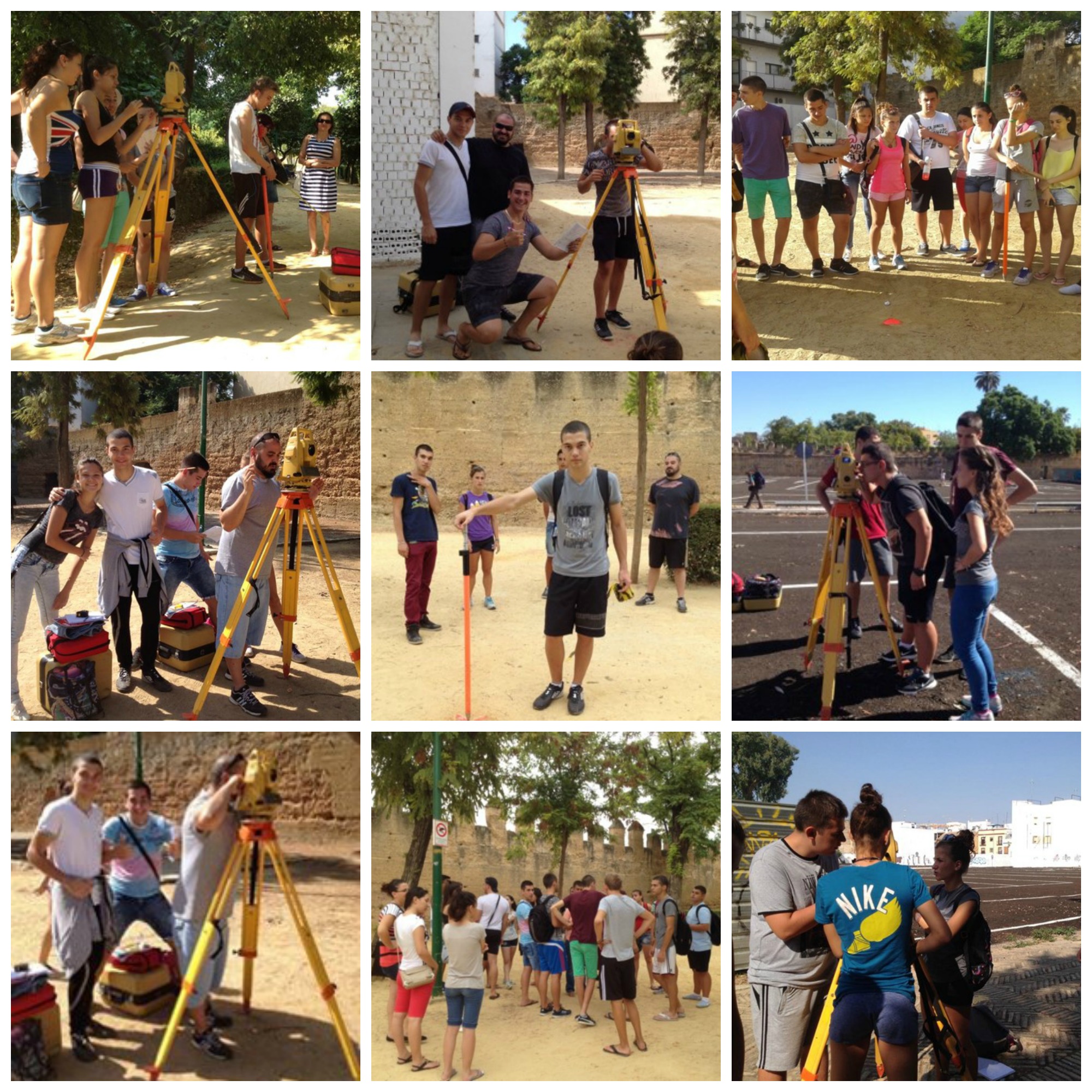
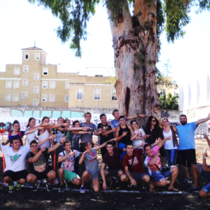
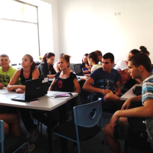
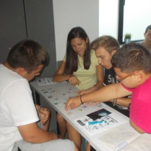
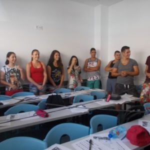
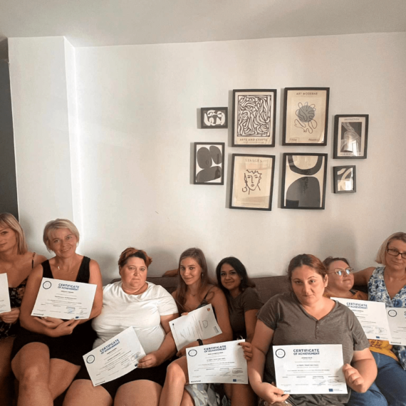
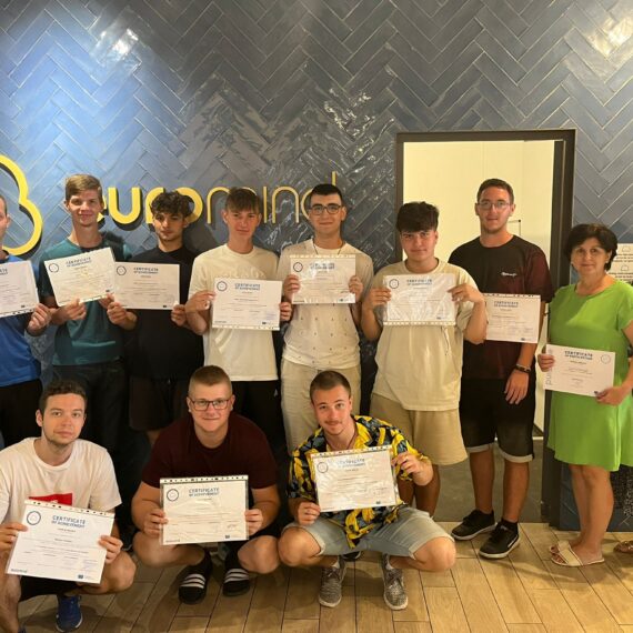
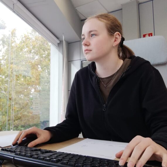
For three weeks at the end of the summer of 2015, 20 motivated Bulgarian trainees came to Seville to perform Geodetic Surveying.
Their main tasks consisted of
- Working with tools such as total station, GPS, levels, etc.
- Reading distances and angles, taking out of points in terrain, etc.
- Preparing a topographical profile of a terrain – conducting a topographic survey.
- Import of data from EXCEL to AutoCAD.
- Processing of collected data – the shape, contour, location, elevation and dimensions of land or land features, etc.
- Preparing geodetic plans necessary to deliver a project.
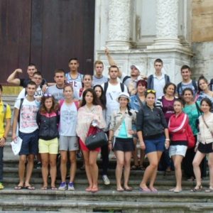
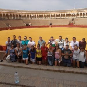
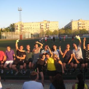
Not only did they learn lots on the job, but they also got to know the Spanish culture from top to bottom. They visited the Royal bullring, had a linguistic exchange with a local school, were taught basic Spanish, participated in an international football match and visited two of the most famous Andalusian cities, Cadiz and Malaga. It’s safe to say the stay was a huge success for all parties.


