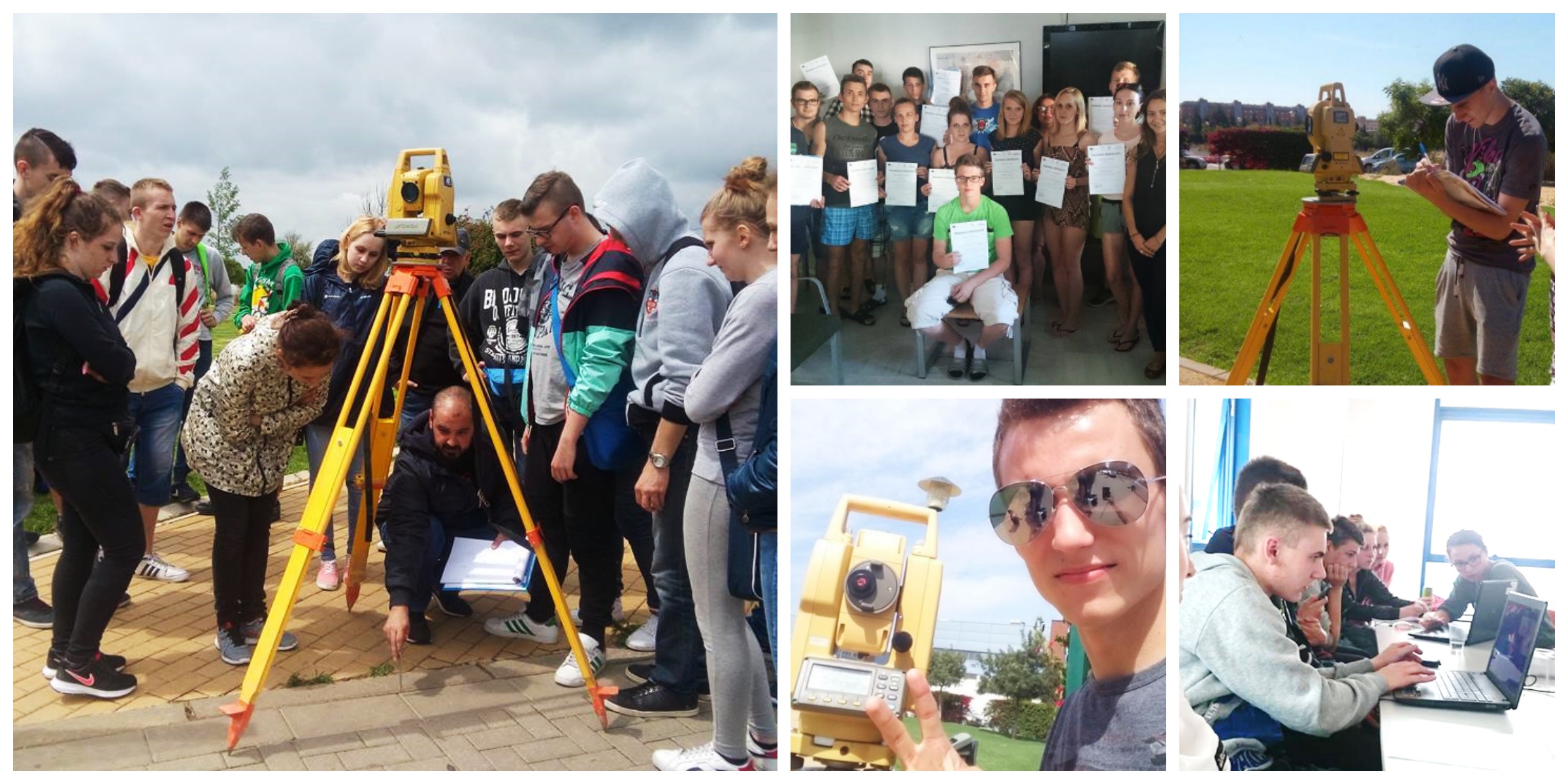
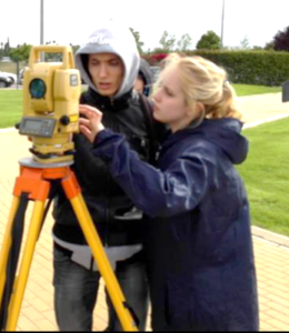
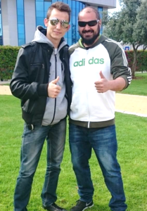
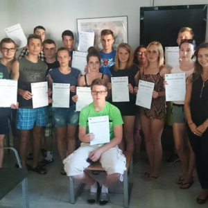
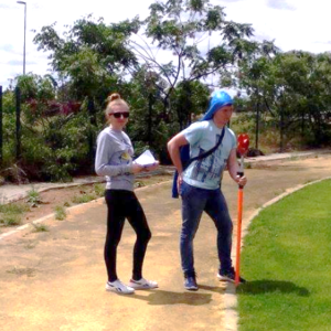
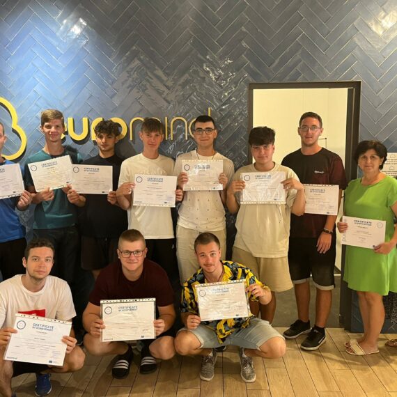
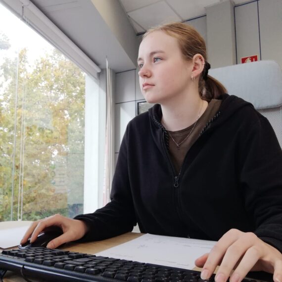
Summer time is coming and so are 16 geodetic students from Poland. During their two-week stay their main aim is to improve their professional skills and knowledge whilst working at a renowned host company and putting their theoretical knowledge into practice. Apart from that they also became acquainted with new techniques and programmes, such as: AutoCAD and Digital Terrain Model.
Their main aims included the following:
- Using specialised terminology and symbols in foreign language in geodesy and topography
- Staking out of points in terrain and working out their projection to maps
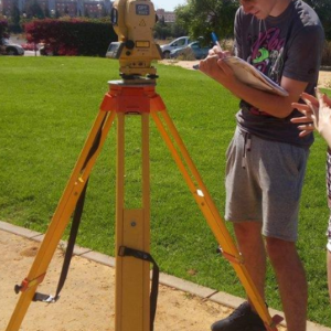
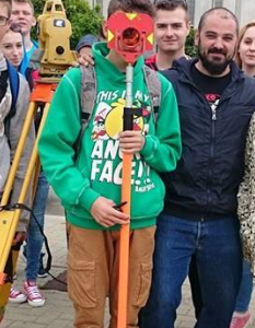
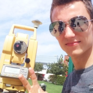
- Operating and adjusting basic types of surveying instruments
- Getting to know various instruments to create a Digital Terrain Model
- Performing common geodetic calculations in the area of surveying, in classical way and by using IT tools
- Importing data from EXCEL into AutoCAD
- Choosing a technological procedure to solve an assigned task
- Recording the results of surveys including the shape, contour, location, elevation and dimensions of land or land features
- Being responsible for completion of an assigned task and preparing technical documentation and reports
During their traineeship the students managed to successfully complete and carry out all their responsibilities at work. But apart from acquiring a whole host of new skills at work, there was still plenty of time left for them to explore the beautiful sights of Sevilla. Apart from that they also went on an exciting trip to Tavira (Portugal).


